Utsukushigahara Plateau
Utsukushigahara Plateau
At 2,000 m altitude near Matsumoto, Utsukushigahara Plateau offers a 360° panorama over the Japanese Alps, flower-lined trails and an open-air art museum.
Utsukushigahara Plateau rises to 2,000 metres altitude between Matsumoto and Ueda, in Nagano Prefecture. Its name means "beautiful field", and the site is part of the region's largest quasi-national park. Counted among Japan's most expansive plateaus, it offers a 360-degree view over the North and South Japanese Alps, Mount Fuji and Mount Yatsugatake.
Why visit Utsukushigahara
Utsukushigahara combines several rare attractions in Japan: an accessible high-altitude plateau, a 360-degree alpine panorama, protected flora and a substantial open-air art museum. The site suits both a half-day hike and a scenic car stop along the Venus Line, which marks its northern departure point.
The altitude (2,000 m) guarantees cool temperatures in summer when lowland cities swelter, and particularly clear skies for stargazing. The still-working pastures, where cattle graze freely, give the plateau an unusually pastoral atmosphere in the archipelago.
What to see on the plateau
The summit and Utsukushi-no-to Tower
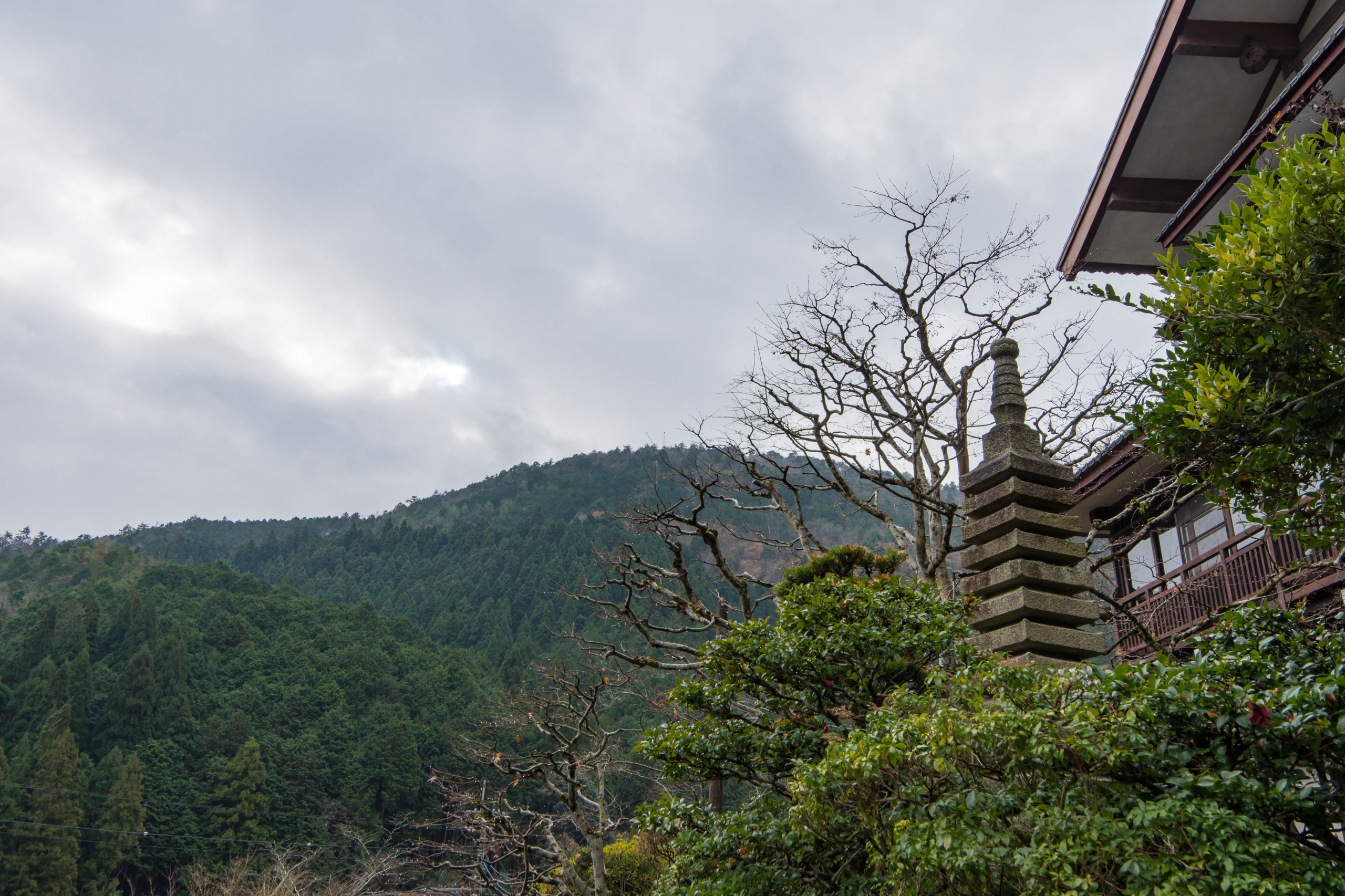
Mount Ogato (2,034 m) forms the central focal point of the plateau. At its base stands the stone tower Utsukushi-no-to, accessible only on foot. It serves as a landmark for hikers when mist blankets the pastures. Nearby, Utsukushigahara and Sanjo ranches continue high-altitude cattle-raising operations.
The flowering ridge
The ridge is home to over 200 varieties of alpine wildflowers spread across a vast expanse. Dwarf daylilies, azaleas and Gypsy roses compose the summer palette. Several marked trails traverse these flower beds and allow loops ranging from one to three hours depending on the route.
The open-air art museum
On the eastern flank, the Utsukushigahara open-air art museum displays approximately 350 modern sculptures by Japanese and international artists across 13 hectares. The site also includes indoor spaces (picture gallery, light space, children's zone), useful in poor weather.
The Michi-no-eki rest area
Promoted as Japan's highest Michi-no-eki rest area, it features a panoramic terrace overlooking Matsumoto, as well as local products (dairy, farm ice cream) from neighbouring ranches.
When to go
Seasonality strongly conditions the visit:
- July-August: dwarf daylily and alpine flower blooms, full trail access, mild temperatures.
- September to mid-November: autumn colours on the plateau and slopes, clear light, quieter crowds.
- December to March: snow-covered plateau, trails closed or barely passable, restricted road access.
- April-June: transition period, verify access road openings which may remain closed late into spring.
The best window for hiking and the open-air museum runs from late June to mid-October.
How to get there
By car
Allow approximately 70 minutes from JR Matsumoto Station. The road climbs steeply and joins the Venus Line, which continues the traverse toward other Nagano plateaus and lakes. This is the most flexible option for combining the plateau's different points of interest.
By bus
A seasonal service, the Utsukushigahara Open-air Museum line, connects Matsumoto bus terminal (opposite JR station) to the open-air museum. The journey takes approximately 105 minutes. Service operates during a limited summer window: verify exact dates with Matsumoto's tourism office before planning your visit, as the schedule varies year to year.
Practical information
- Altitude: 2,000 m — bring an extra layer even in summer, wind can be brisk.
- Winter access: roads and trails generally closed from December to March/April.
- Equipment: hiking shoes, water, sun protection (little shade on the plateau).
- Visit duration: allow half a day for the ridge and tower, a full day if adding the open-air museum.
- Connectivity: mobile coverage patchy, download offline maps.
Nearby combinations
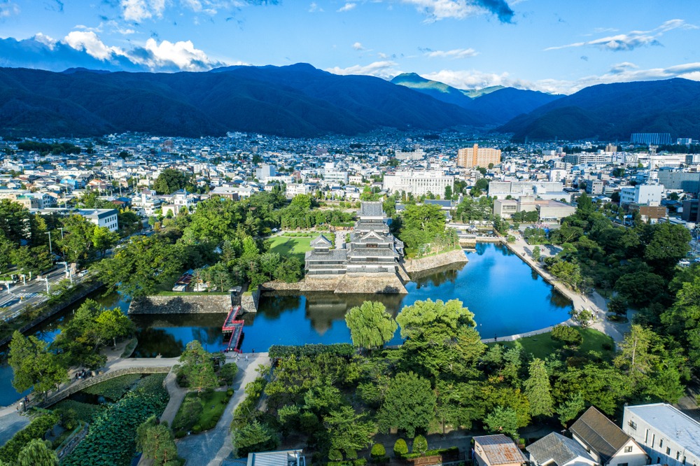
The plateau naturally integrates into an itinerary centred on Matsumoto and its black castle, the logical base for exploring the Japanese Alps. Southwestward, the historic Nakasendo route crosses the Kiso valleys and their Edo-era relay villages. Further west, Mount Arashiyama near Kyoto and Himeji Castle complete a classic cultural itinerary through central Honshu.
Frequently asked questions
Frequently asked questions
Access is highly restricted from December to March: trails are snow-covered, barely passable, and high-altitude roads are generally closed. The recommended period extends from late June to mid-November.
No. The plateau offers trails of varying difficulty, including several short, flat loops accessible to all. Utsukushi-no-to Tower is reached by an easy walk.
Yes, especially if you have a full day available. Its 13 hectares and approximately 350 sculptures allow combining contemporary art with high-altitude landscapes, with covered spaces useful in poor weather.
Yes, but only during a short summer window, via the seasonal bus service from Matsumoto. Outside this period, a car (rental or taxi) remains the most reliable option.
Half a day suffices for the ridge, tower and a viewpoint. Allow a full day to add the open-air museum and a longer hike.
To integrate Utsukushigahara Plateau into a tailor-made circuit through the Japanese Alps, consult our Japon trips.
Interested in this visit?
We can include it in your personalised itinerary.