Kamikochi
Kamikochi
A high-altitude valley in the Japanese Alps, Kamikochi unfolds 15 km of trails between the Azusa River and peaks exceeding 3,000 m, within Chubu Sangaku National Park.
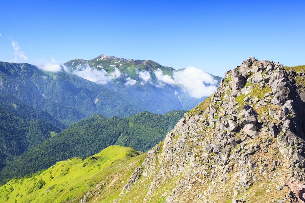
Kamikochi is a high-altitude valley in Nagano Prefecture, located in the Japanese Alps at the heart of Honshu. Its name literally means "high plateaus". Over roughly fifteen kilometers, between 1,400 and 1,600 meters in elevation, it unfolds ancient forests, glacial rivers and peaks exceeding 3,000 meters. The site, part of Chubu Sangaku National Park, is one of the historic starting points for Japanese mountaineering.
Why visit Kamikochi
- A preserved high-altitude valley, closed to private vehicle traffic
- Accessible trails along the Azusa River, suited to casual walkers
- Iconic peaks for experienced hikers: Yakedake, Hotakadake, Maehotakadake
- A cornerstone of Japanese mountaineering history, linked to Reverend Walter Weston
- Visible wildlife along the paths: Japanese macaques, mountain birds, occasionally wild boar
History
Until the mid-19th century, Kamikochi is a zone of forest exploitation feeding Japan's timber industry. The turning point comes between the 1890s and 1910s, when Reverend Walter Weston, a British missionary, travels through the region and publishes accounts of his ascents. Regarded as one of the pioneers of modern mountaineering in Japan, he helps raise awareness of the site's natural value and curtails its overexploitation.
His memory is honored each year at the Weston Festival, held on the first Sunday of June. This event officially marks the opening of the mountaineering season in the Japanese Alps. A monument dedicated to him stands on the trail along the Azusa River.
What to see and do
Kappa Bridge and the Azusa River
The Kappa Bridge, a wooden structure 36.6 m long and 3.1 m wide, spans the Azusa-gawa river. It is the valley's central landmark and the starting point for most walks. The trails flanking the river are flat, well-marked and accessible to most visitors. Allow two to three hours for a comfortable loop.
Myojin Pond and Hotaka Shrine
About one hour's walk upstream from Kappa Bridge, Myojin Pond reflects the surrounding peaks in particularly clear water. Nearby stands the Hotaka Shrine (Hotaka-jinja Okumiya), dedicated to the tutelary deity of the local mountains. The Weston Monument, sealed in the rock, also sits on this route.
Peaks for experienced hikers
Beyond the valley-floor trails, several peaks draw mountaineers:
- Mount Yakedake (2,455 m): an active volcano, ranked among Japan's 100 best mountains
- Okuhotakadake (3,190 m): the country's third-highest peak
- Maehotakadake (3,090 m) and Nishihotakadake (2,909 m)
These ascents require good fitness, proper equipment and, for most, an overnight stay in a mountain refuge. They are not recommended for those prone to vertigo.
When to go
The site is closed from mid-November through late April due to snow and inaccessible roads. The tourist season thus runs from late April through mid-November.
- May-June: peaks still snow-capped, verdant valley, moderate crowds
- July-August: peak season, mild temperatures at altitude, significant visitor numbers
- October-early November: autumn colors on larch and maple forests, particularly clear light
How to get there
Private cars are prohibited in the valley to preserve the site. Access is exclusively by bus, some of which are hybrid vehicles.
- From Takayama: direct bus to Kamikochi, approximately 1 hour journey
- From Shin-Shimashima (accessible by train from Matsumoto): approximately 1 hour by bus
- From Tokyo: train to Matsumoto, then rail connection to Shin-Shimashima, then bus
Buses run roughly hourly from morning through late afternoon. The main stop is located near Kappa Bridge.
Practical information
- Accommodation: hotels, ryokan, guesthouses and mountain refuges are clustered around Kappa Bridge. Advance booking strongly recommended in peak season
- Visitor center: open during the site's access season, offers trail maps and weather information
- Equipment: bring warm clothing even in summer; morning temperatures remain cool at altitude
- Visit duration: one day for the valley trails, two to four days for peak ascents
- Wildlife: do not feed Japanese macaques, which are frequent along the trails
Nearby attractions
Kamikochi combines well with other stops in the Japanese Alps and the west coast:
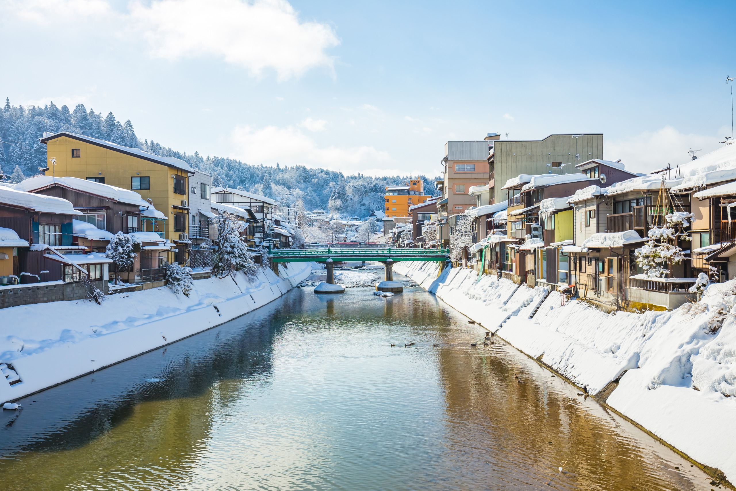
- Hida Takayama, a merchant town at the heart of the Alps, about 1 hour by bus
- Ginzan Onsen, a historic hot spring resort in Yamagata Prefecture
- Dewa Sanzan, three sacred mountains of Shugendo
- Himeji Castle, a UNESCO World Heritage site
Frequently asked questions
Frequently asked questions
No. The site is officially closed from mid-November through late April, as access roads are impassable due to snow.
No. The valley-floor trails along the Azusa River are flat and accessible to everyone. Only ascents to the peaks (Yakedake, Hotakadake) require experience and equipment.
Private vehicles are prohibited in the valley. Access is by bus from Takayama or Shin-Shimashima, or by taxi from parking areas located upstream.
One day is sufficient for the main valley loops (Kappa Bridge, Myojin Pond). Allow two to four days to combine hiking with a peak ascent.
Early to mid-October in general, with variations depending on altitude. Larches take on golden hues toward month's end.
Plan your trip
Kamikochi fits naturally into an itinerary centered on the Japanese Alps and historic cities of Honshu. To build a tailor-made journey featuring this valley, explore our trips to Japan.
Interested in this visit?
We can include it in your personalised itinerary.